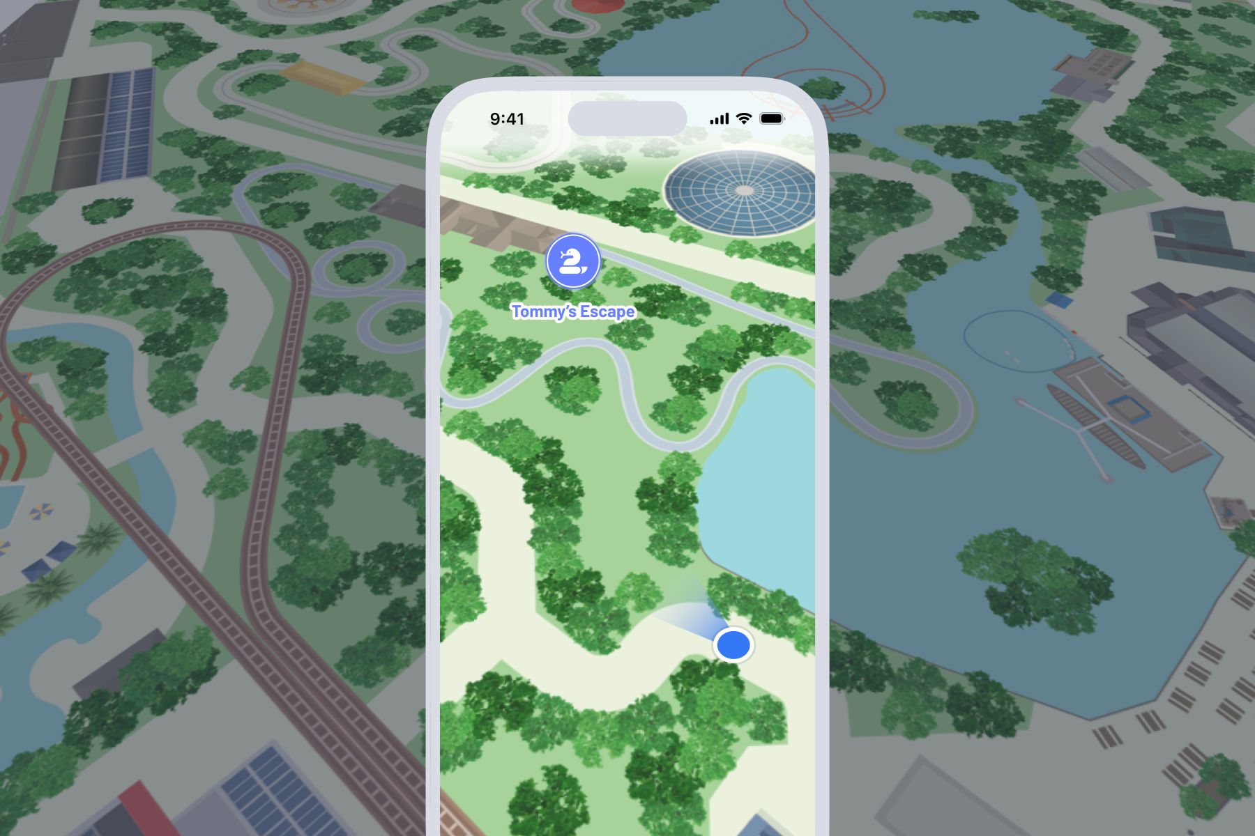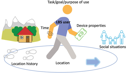
Mapping and navigation on the web rely on a combination of technologies and data sources to provide accurate geographical information and route guidance. The process involves several components, including geographic information systems (GIS), geolocation data, routing algorithms, map rendering, and various APIs that integrate everything into an interactive experience. Here’s a breakdown of how it all works:
1. Geographic Data Collection
- Data Sources: Mapping services like Google Maps, OpenStreetMap, and Bing Maps collect geographic data from multiple sources, including government databases, satellite imagery, aerial photography, and data contributions from users. This data includes roads, buildings, terrain, points of interest, and other geographical features.
- Street-Level Data: Services like Google Street View collect street-level data using specialized vehicles equipped with cameras and GPS sensors to provide a detailed view of roads and surrounding areas.
2. Geolocation
- GPS (Global Positioning System): GPS technology determines a user’s current location by triangulating signals from a network of satellites. Mobile devices use GPS to obtain precise geolocation coordinates (latitude and longitude).
- IP Address and Wi-Fi: When GPS is unavailable, geolocation can be estimated using an IP address (less accurate, but helpful for web-based services) or Wi-Fi signals that compare nearby networks against a database of known Wi-Fi hotspots.
- User Input: Users can also manually enter addresses or locations, which are then geocoded to determine their exact latitude and longitude.
3. Mapping Interfaces
- Map Tiles: A map is composed of many small images called map tiles. When you zoom or pan a map on a web interface, new tiles are loaded to display the updated view. The tiles are organized by levels of zoom, and each tile represents a part of the map at a specific zoom level.
- Web Map APIs: Platforms like Google Maps API, Mapbox, or Leaflet provide APIs that developers can use to integrate maps into web applications. These APIs offer functions for rendering maps, adding markers, and controlling user interaction.
- Vector vs. Raster Maps: Maps can be represented in raster format (as images) or vector format (geometric shapes). Vector maps are more interactive and customizable, while raster maps are pre-rendered images.
4. Navigation and Routing
- Routing Algorithms: To determine the best route from point A to point B, web mapping services use routing algorithms such as Dijkstra’s or *A (A-star)**. These algorithms calculate the shortest or fastest path between two points based on road networks and real-time data.
- Road Network Data: Routing relies on detailed road network data, including road types, distances, traffic rules, and restrictions (e.g., one-way streets).
- Traffic and Conditions: Real-time traffic data is collected through GPS devices, user-reported incidents, and sensors. Services like Google Maps use this data to provide optimized routes based on current road conditions, estimated traffic delays, and potential detours.
5. Map Rendering and User Interaction
- Rendering Maps: Maps are rendered on the user’s device using HTML5, JavaScript, and WebGL for advanced graphics. JavaScript libraries like Leaflet and OpenLayers provide the tools needed to handle map rendering, user interaction, and adding layers to the map (e.g., markers or paths).
- Interactive Features:
- Markers: Icons that pinpoint specific locations, such as restaurants or tourist attractions.
- Polylines and Shapes: Lines and shapes are used to represent routes, boundaries, or areas on the map.
- Geofencing: This technique allows actions to be triggered when a user enters or leaves a defined geographic area, useful for location-based notifications.
6. Map Data Formats
- GeoJSON: A widely used format for encoding geographic data in JSON. It represents different geographical features (e.g., points, lines, polygons) and is easy to work with in web applications.
- KML (Keyhole Markup Language): Used by Google Earth, KML is an XML-based format for storing geographic data like place marks, routes, and shapes.
7. Search and Geocoding
- Geocoding: This process converts addresses or place names into geographic coordinates. For example, when a user types in an address, geocoding finds its latitude and longitude.
- Reverse Geocoding: Converts geographic coordinates back into human-readable addresses or place names, used to display information about a user’s current location.
- Places API: Web mapping services also provide Places APIs that allow users to search for points of interest, businesses, or landmarks, complete with information like hours of operation and user ratings.
8. Web Mapping Services Providers
- Google Maps: One of the most popular mapping services, offering detailed maps, satellite imagery, real-time traffic, and Street View. Google Maps API is widely used by developers for embedding maps into websites and applications.
- OpenStreetMap (OSM): A free, community-driven map that provides data openly for anyone to use. OSM can be integrated using tools like Mapbox, which adds additional styling and customization.
- Mapbox: Built on top of OSM data, Mapbox offers customizable, interactive maps with various features for developers.
- Here Maps, Bing Maps: Other competitors in the mapping space, providing APIs for embedding maps and navigation services.
9. Navigation Assistance
- Turn-by-Turn Directions: Services use geolocation and routing algorithms to provide users with step-by-step guidance to reach their destination. This involves GPS tracking, voice prompts, and real-time recalculation in case of a route deviation.
- Augmented Reality (AR): Some mapping applications (e.g., Google Maps) now include AR navigation, which overlays route information on the real-world view through the user’s phone camera.
10. Challenges and Considerations
- Data Accuracy: Mapping services must continually update their data, as roads, construction, and new landmarks can change frequently.
- Privacy: Geolocation services need to consider privacy concerns. Users should be notified when their location data is being collected, and consent must be obtained.
- Offline Access: Some mapping services allow users to download maps for offline use, ensuring access even without an internet connection.
Mapping and navigation on the web involve a complex ecosystem of geographic data, software tools, and algorithms that come together to provide seamless user experiences. By integrating geographic data, real-time updates, and powerful APIs, these services are able to provide interactive maps, efficient routing, and an overall smoother experience for users navigating the world.


